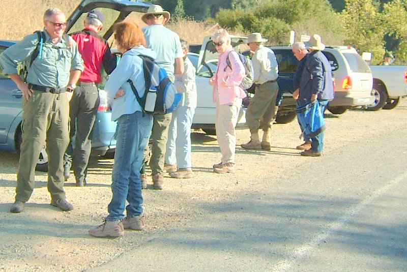
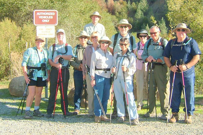
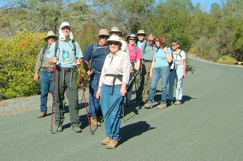
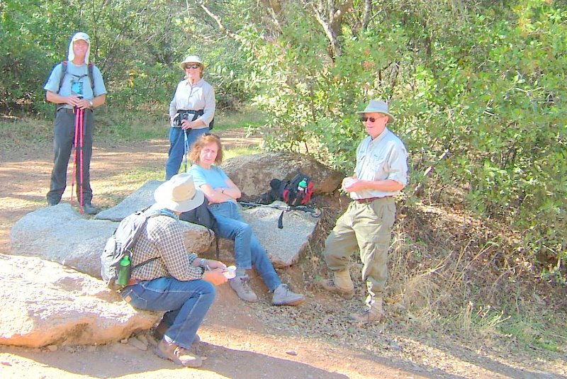
The group gathered at the trailhead
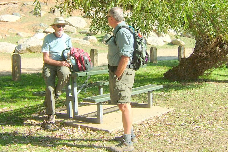
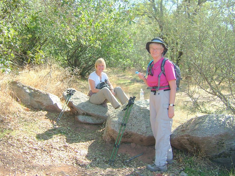
Ganilla and Fred
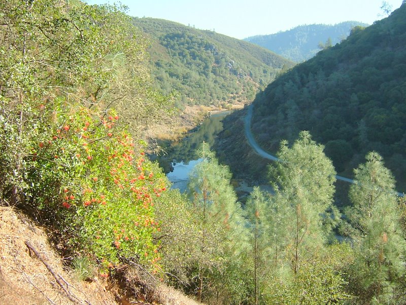
Middle Fork of the American River - Quarry Trail on the opposite shore
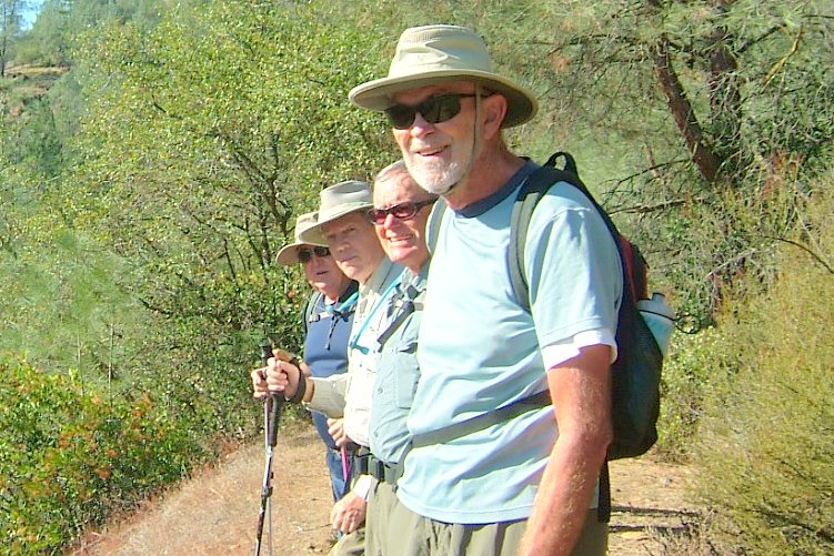
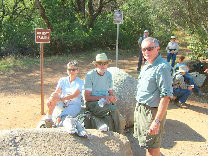
David, Fred, Vern, and Nick
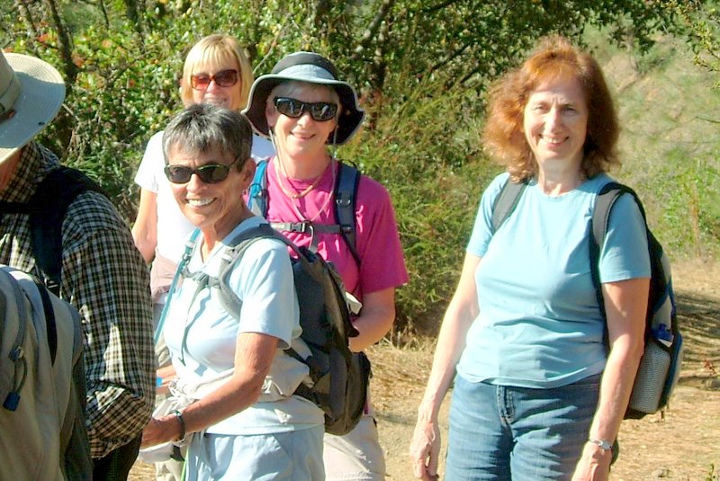
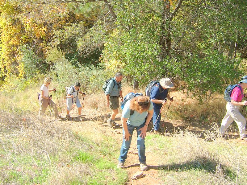
Leah, Ganilla, Penny, and Monique
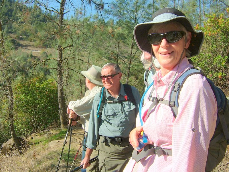
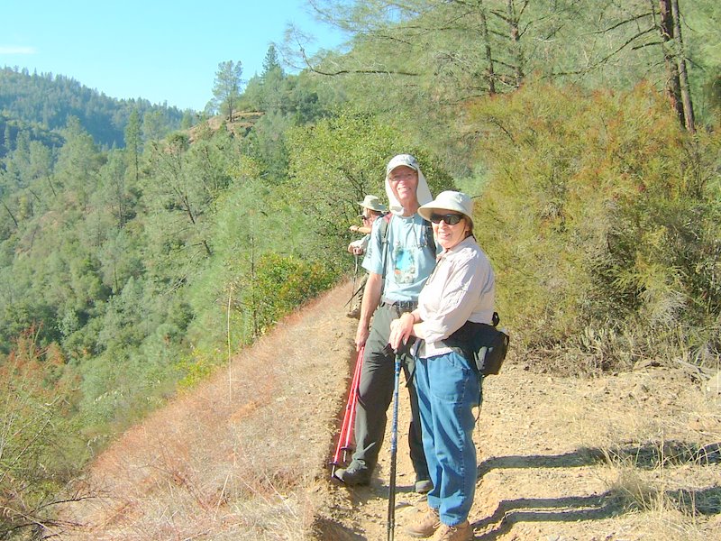
Ada, our hike leader, and Bob
The group reaches the OHV park for our snack break before the long trek uphill
Fred and David at our snack break
Are we there yet??? The uphill trekof almost 1000 feet in a half mile or so,
Lunch time - at the apex of the trail
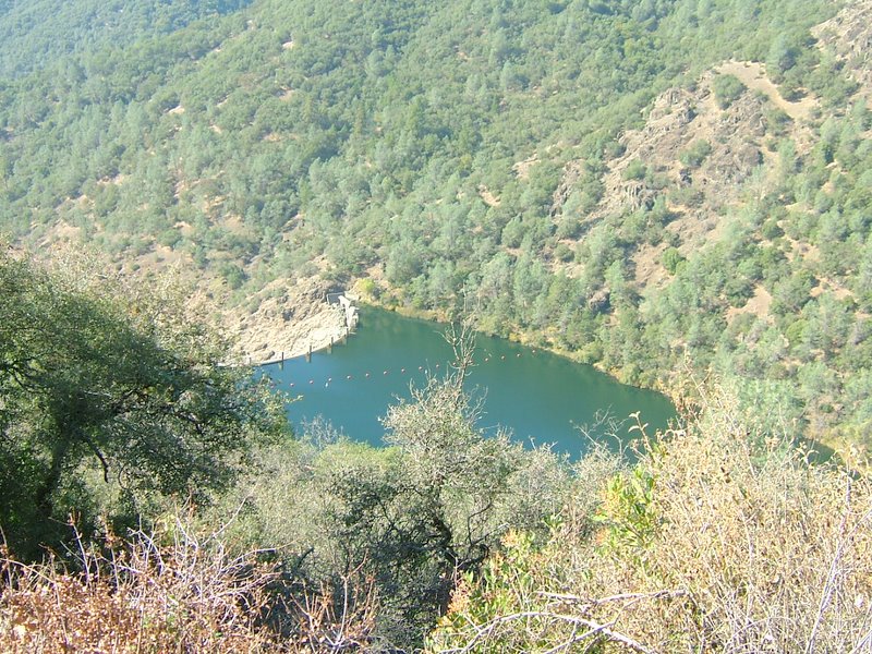
Clementine Lake behind its dam
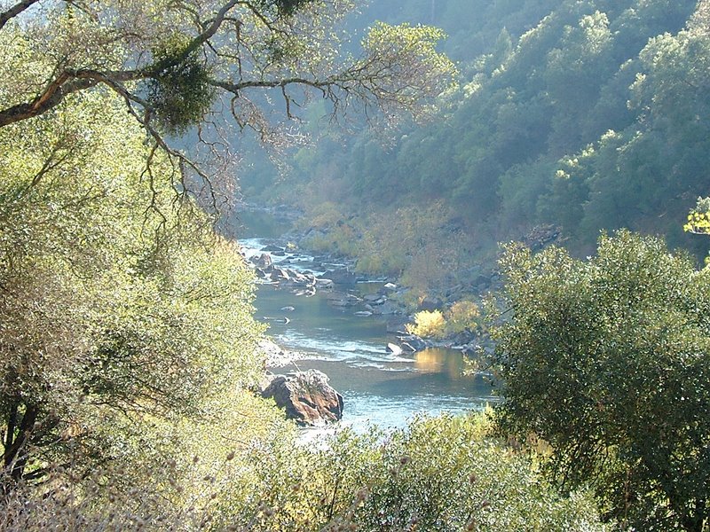
A gorgeous view of the North Fork of the American River
Some additional information about this hike:
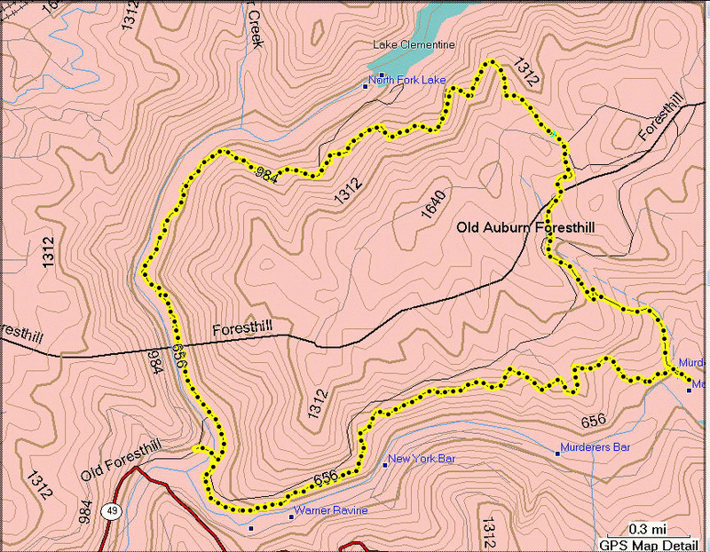
The hike loop route, as determined by our new Hking Group GPS - the total distance was 7.2 miles
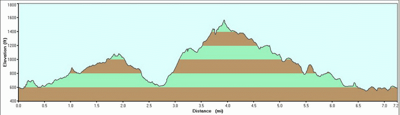
The hike profile - showing our significant climb