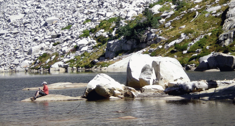
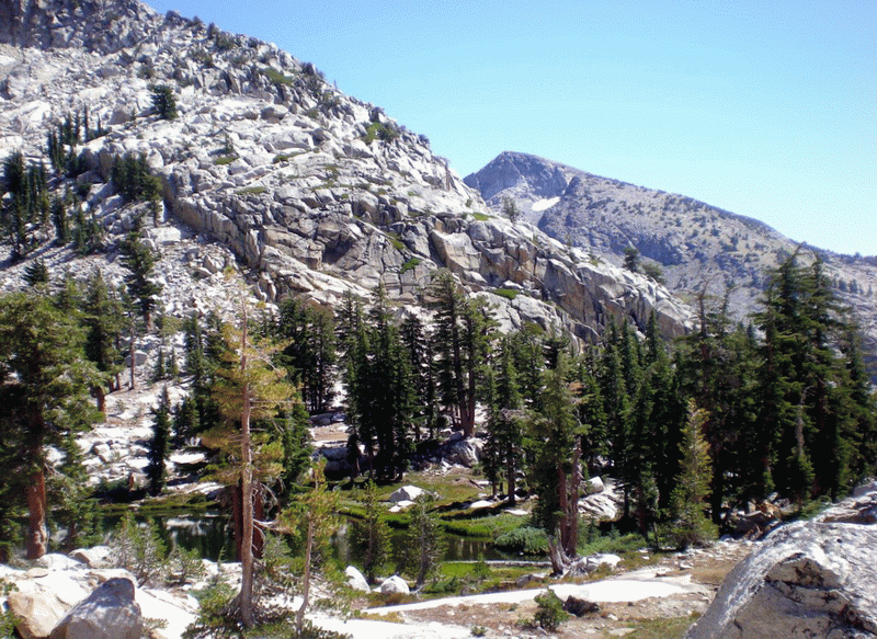
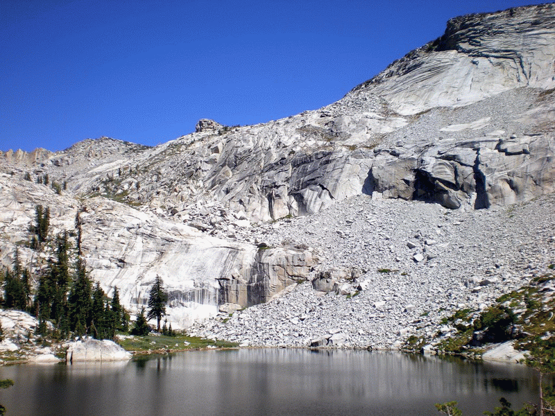
LYONS LAKE
Tuesday, October 7, 2008
DIFFICULTY: Strenuous
ELEVATION: Trailhead at 6,700 ft., Lyons
Lake at 8,350
GAIN: 1,650 feet net gain, 1,735 total gain
HIKE DISTANCE: 9½ miles round-trip
GENERAL LOCATION: Crystal Range in the southern part of El Dorado National Forest/Desolation Wilderness off Highway 50.
DESCRIPTION: Trail through aspen groves and conifer forest is easy-moderate for first few miles, then ascends sharply over rock face to beautiful mountain lake in spectacular granite bowl. Great views of Pyramid Peak, highest mountain in the Desolation Wilderness at almost 10,000 ft.
TRAVEL TIME/DISTANCE: 85 miles each way. Travel time a little over two hours (depending on Hazel Avenue traffic). Suggested donation to drivers $15.
Estimated return to SCLH about 6:00-6:30 p.m. (Some carpools may wish to stop for dinner in Placerville--Tortilla Flats recommended.)
HIKE CO-LEADERS: Gay Mackintosh/Sue Geisler.
Desolation Wilderness permit limits groups to
12, so we will split into two groups about 20 minutes apart if numbers require.
SPECIAL NOTES:
FACILITIES AVAILABLE: NONE. We will stop at Safeway in Pollock Pines for restrooms.
PREPARATION FOR HIKE: Hiking boots and trekking poles required
for the very steep and rocky path the last half mile to the lake. Bring lunch and plenty of water. Wear
sunscreen. Bring windbreaker, always advisable in the mountains.
RISKS: High altitude. Steep rocky trail the last half mile to the lake. May be windy and cold.
QUESTIONS: Gay Mackintosh (408-5092) or Sue Geisler (408-1010)
MEETING TIME: 7:00 a.m., for 7:15
leaving time
Some pictures of Lyon's Lake area