At the bottom, new photos from Dennis Ratay have been added
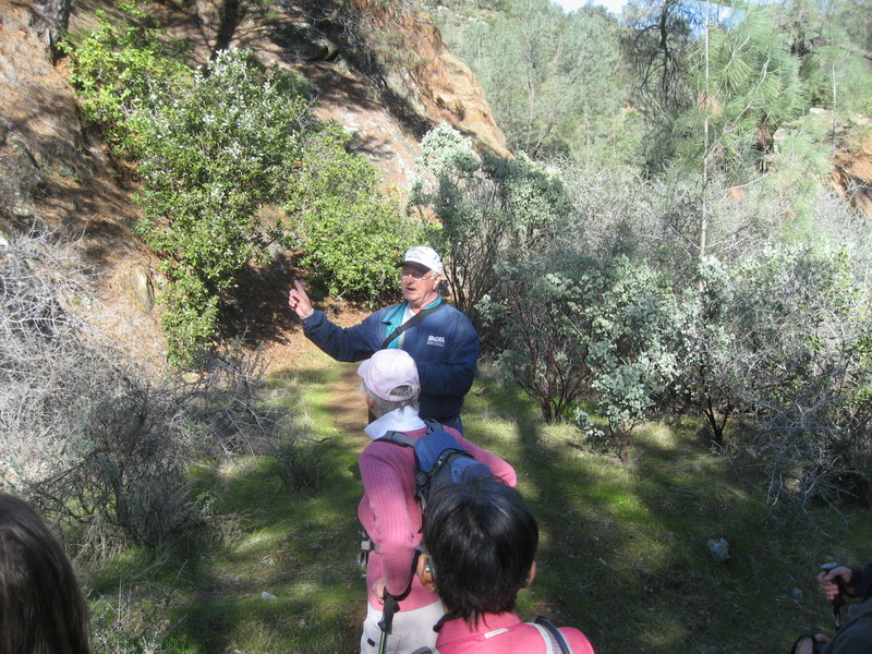
Our hike leader, Dennis, pointing out something very important (but I can't remember what)
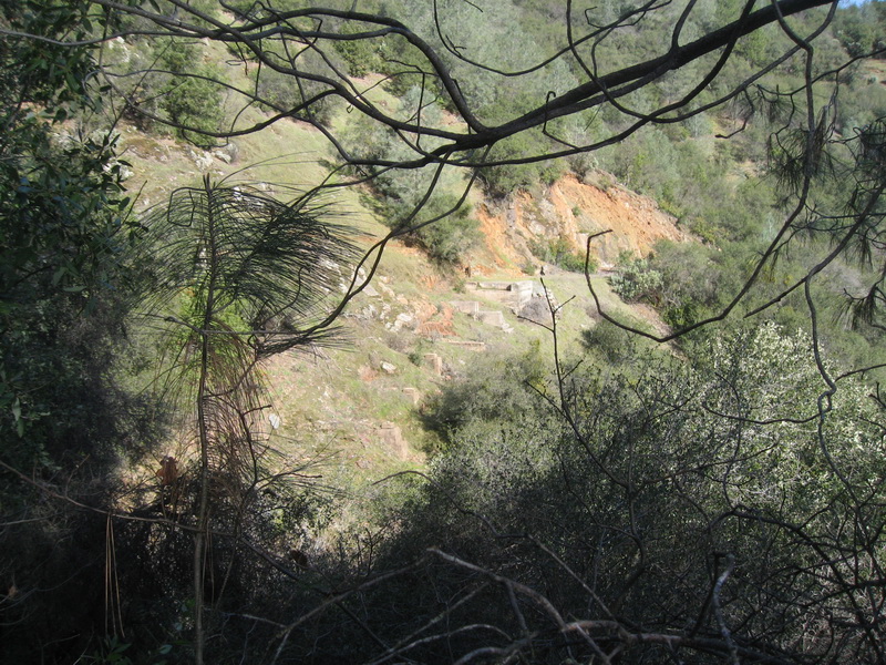
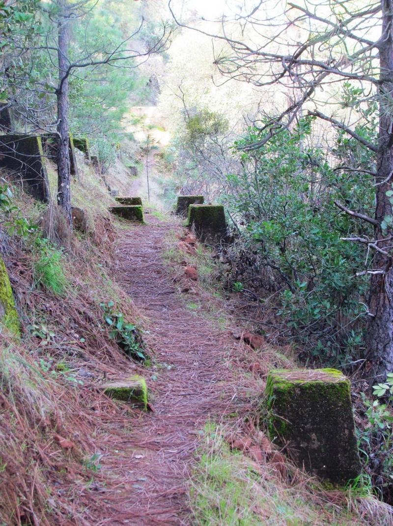
A fascinating part of the hike was along the old railroad right-of-way - here we see bridge abutments and footings
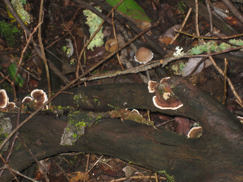
Fascinating crop of Turkey Tail Mushrooms - these are good, non-poisonous guys
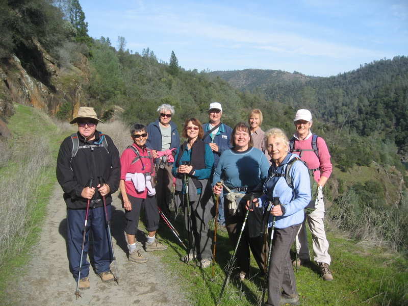
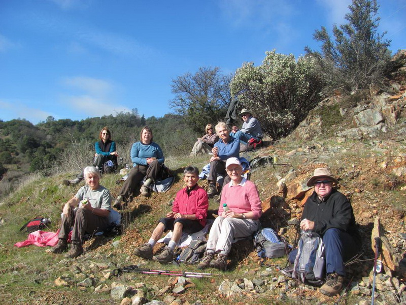
Our hiking group
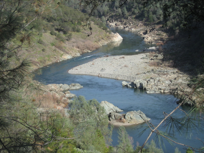
Looking upstream on the American River
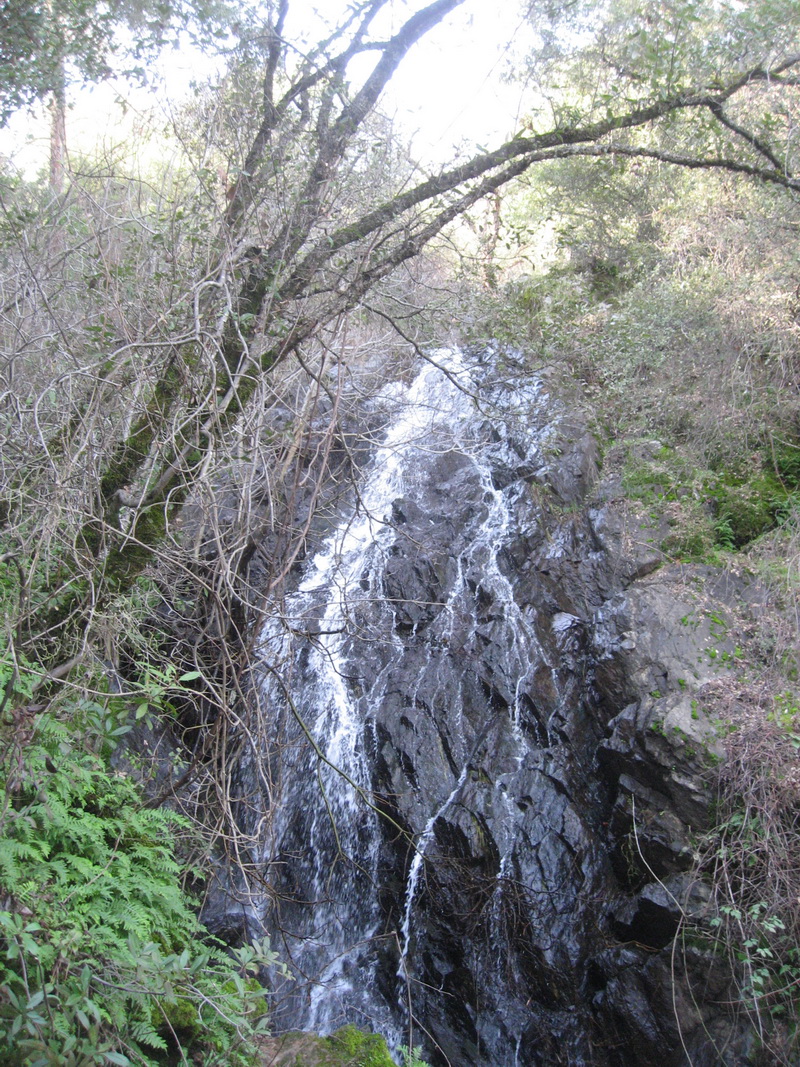
Waterfall by the trail - area known as the "Black Hole of Calcutta"
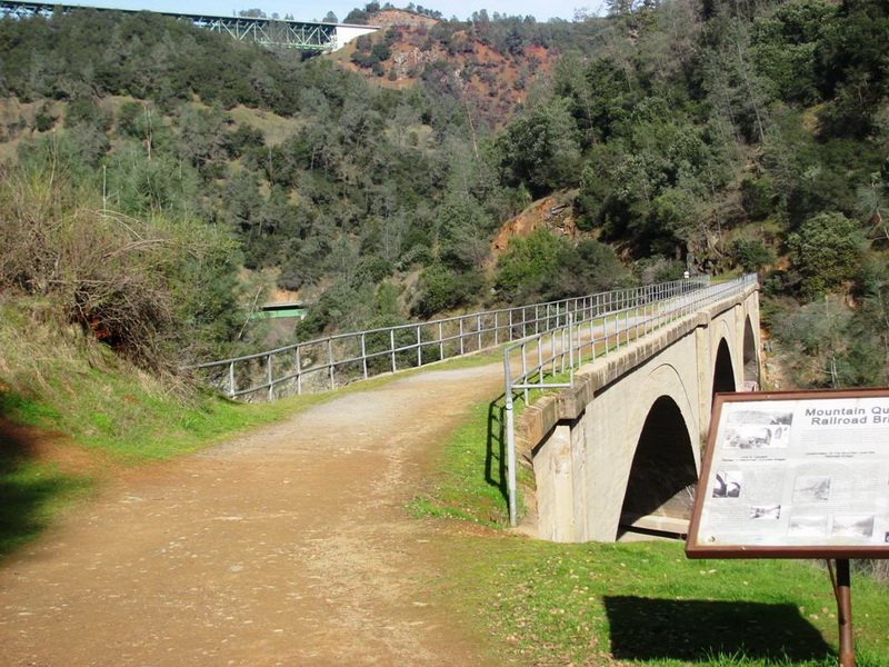
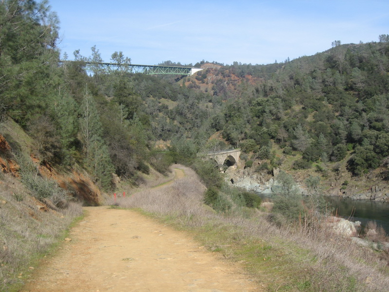
View of our goal - No Hands Bridge - and Foresthill Bridge looming in the distance.
Dennis's pictures
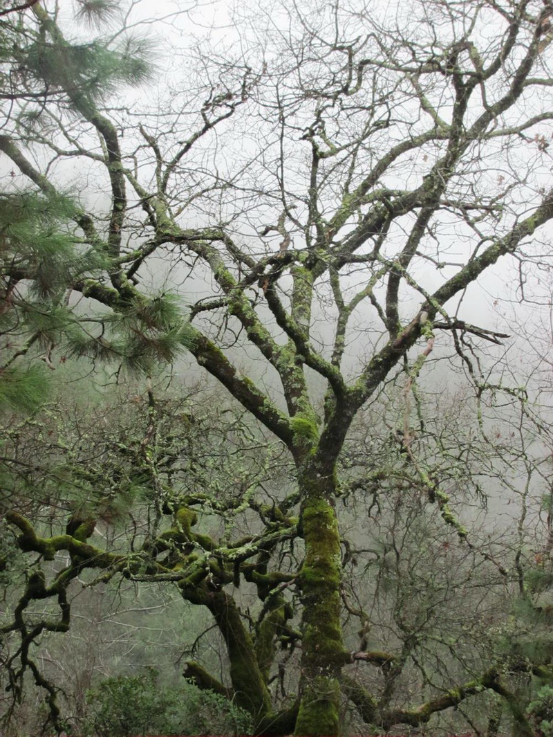
Winter tree in the fog
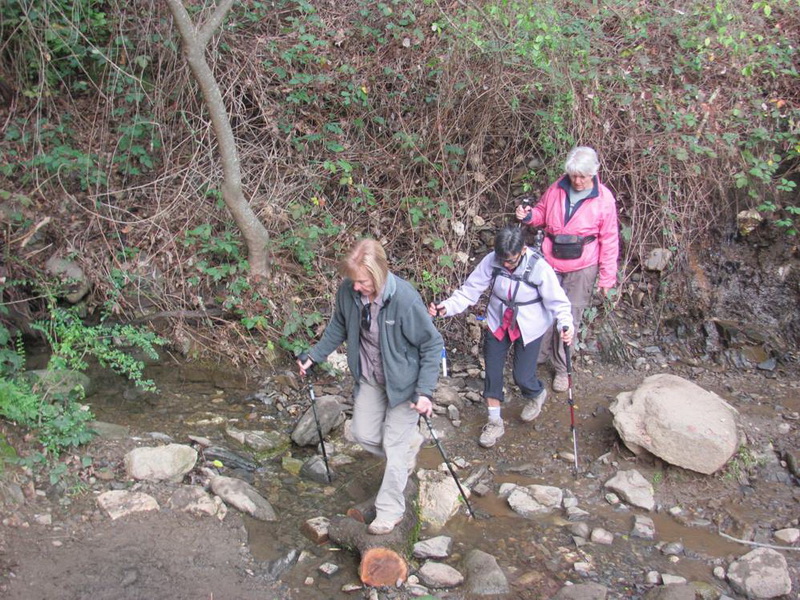
The dreaded creek crossing
Lunch break
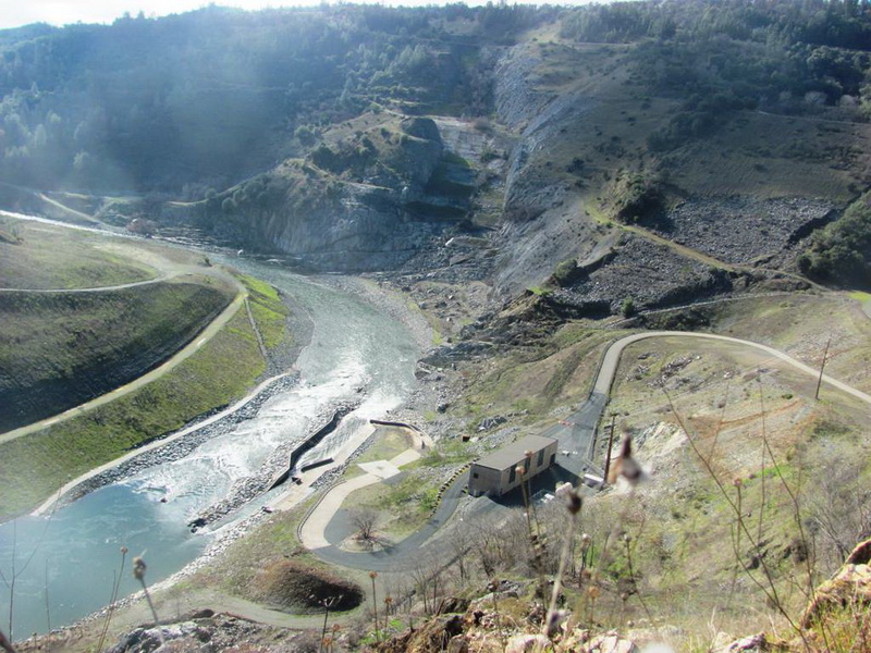
Site of the defunct Aururn Dam
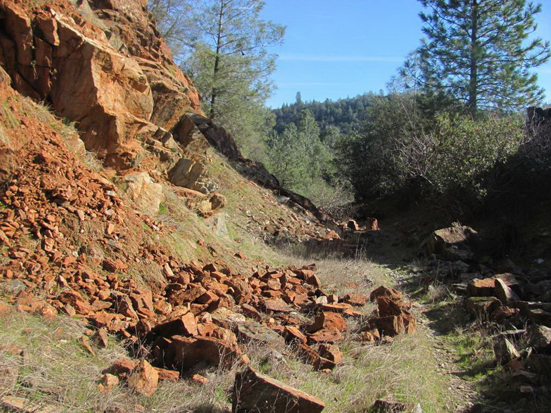
The trail goes through an old railroad cut
And by old railroad trestle footings
The No Hands Bridge (including glimpses of the Hiway 49 bridge and the Foresthill bridge)