Bridgeport/Buttermilk Bend Trail
Tuesday, March 17, 2009
Difficulty: Moderate to moderately strenuous in parts due to ups and downs (big steps) in the 1st mile.
Elevation Gain: About 600 Ft.
Hike Distance: 3.1 mi on the Defiance trail and 2.5 mi on the Buttermilk trail. (However, we don't have to go to the end)
General Location: Pleasant Valley Road/Penn Valley
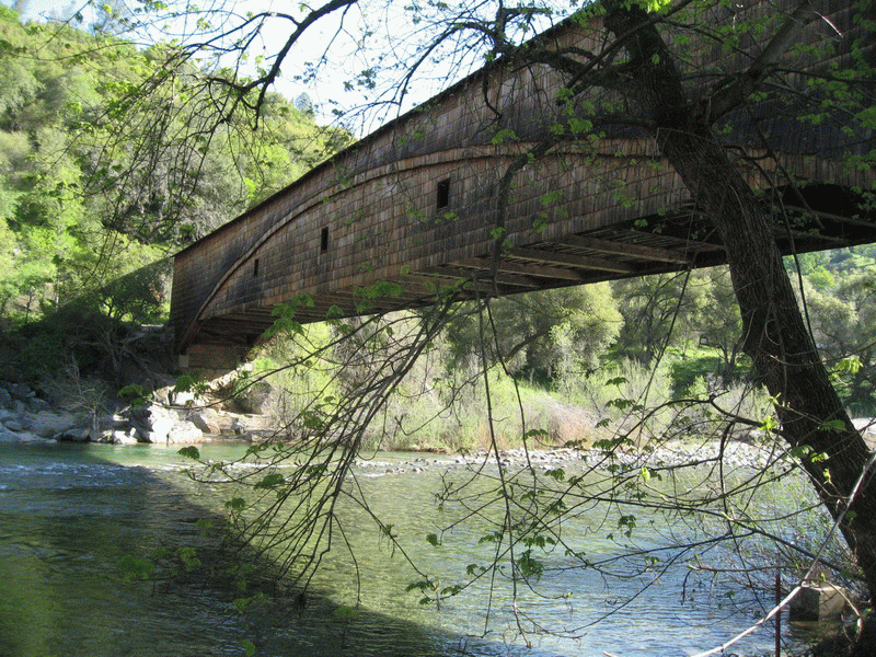
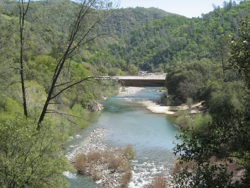
Description: Bridgeport is one of only 9 covered Bridges remaining in California. From there we will walk down river 1 mile on a
trail with many "ups and downs" to a campground where we can take a "breather" before we head up for a steady
1/2 mile up hill. From there it is just a pleasant walk through trees to our lunch bench. This is followed by a steep
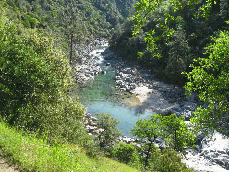
downhill and for those who want just a little more we will cross the street to the Buttermilk Trail. It is a gorgeous
part of the Yuba river not to be missed when going to Bridgeport. We will return by the same trail and go to the
Visitor Center and other historical attractions. It should make for a good day.
Travel Time: 1h 20m - 53 miles one way – plan to reimburse the driver $9.
Hike Leader/Sweep: Rosemarie Gutmann/Sue Geisler
Special Notes:
Facilities: There are bathrooms at the Visitor Center and a porta-john at the campground
Preparation for Hike: Refer to Standard Hiking Equipment Guidelines in the "Hike Information & Guidelines" on the Website.
Wear boots and bring your hiking poles for the "ups & downs". Bring lunch & plenty of water.
Rain on Hike day will cancel as the trail will turn too muddy
Questions: Rosemarie Gutmann (916) 645-4272 or Sue Geisler (916) 408-1010
Meeting time: 8:30 am for a 8:45 am departure
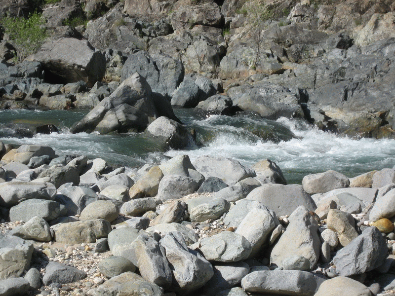
Some scenes from this hike