DIFFICULTY: Easy to Moderate
ELEVATION GAIN: About 200 Feet at start of hike.
HIKE DISTANCE: 8 Mile loop
GENERAL LOCATION: Benecia State Park off Hwy. 780
DESCRIPTION: We will hike about an 8 Mile loop on a dirt trail overlooking the Carquinez Straits. After the hike we will drive into the town of Benicia for lunch ( About 1 PM ) at Captain Blythers Restaurant on the waterfront. After lunch we will tour the oldest existing Pre – Sacramento State Capitol building. At 3PM a Farmers Market takes over the downtown area of Benicia, so those who want to can shop around the market before heading home. Some cars may want to head straight home and some may decide to stop on the way home for dinner.
TRAVEL TIME / DISTANCE: 1 ½ to 2 Hours. We should arrive at the Park trailhead ( 90 Miles ) about 10 AM after stopping at the Vallejo rest area on Hwy. 80 ( about 80 Miles ). This drive ,based on our transportation schedule is a suggested $10 donation to the driver. Return to Lincoln about 7 PM.
HIKE LEADER / SWEEP: Jill & Steve Valeriote
SPECIAL NOTES:
FACILITIES AVAILABLE: Port-a-potty at trailhead and along trails.
PREPARATION FOR HIKE: Refer to standard hiking equipment guidelines on our website under “ Hike Information and Guidelines”. FOR THIS HIKE, Good hiking shoes, Water, Layered Clothing ( Breezy ) and Money for Lunch, State Capitol Tour & Farmers Market.
RISKS: None
QUESTIONS:Call Jill or Steve at 408-5506
MEETING TIME: 7:45 AM at Orchard Creek Parking lot, near blue mailbox. We will leave at 8 AM. Detailed driving directions will be given to all drivers.
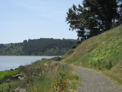
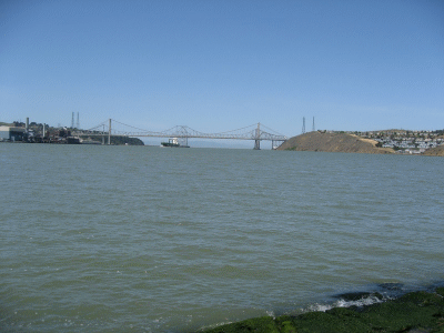
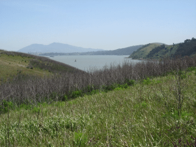
Pictures from the Bay Area Ridge Trail:
Carquinez strait
Mt Diablo in the distance over Carquinez Strait
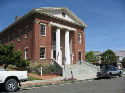
Benicia Museum
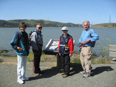
The pre-hike team (except for Monique, the photographer)