Tinker Knob
Tuesday, September 18, 2007
DIFFICULTY: Strenuous
ELEVATION GAIN: About 2000 feet. Lowest elevation is 7060 ft. and highest is 8950 ft.
HIKE DISTANCE: 14 miles total, 7 miles in and 7 miles out.
GENERAL LOCATION: Donner Pass---Soda Springs area.
DESCRIPTION: Great views. Strenuous because of length of trail, not steepness. We will climb the ridge to the Knob, eat lunch, and return.
TRAVEL TIME/DISTANCE: About 1 ½ hours. Mileage is about 75 miles from Lincoln to the trailhead. Return time to Lincoln will be about 6:30 pm. This will be a $9 driver donation.
HIKE LEADER/SWEEP: Fred Crofut
SPECIAL NOTES:
FACILITIES AVAILABLE: None at trailhead. We will stop at Nyack, coming and going.
PREPARATIONS FOR HIKE: Refer to “Hike Information and Guidelines” Bring plenty of water, lunch and snacks, and carry moleskin if you get blisters.
RISKS:
High elevation. Watch this site for possible cancellation due to thunder showers.
QUESTIONS: Call Fred Crofut 408-1850
MEETING TIME: Meet at 6:45 am. Leave at 7 am.
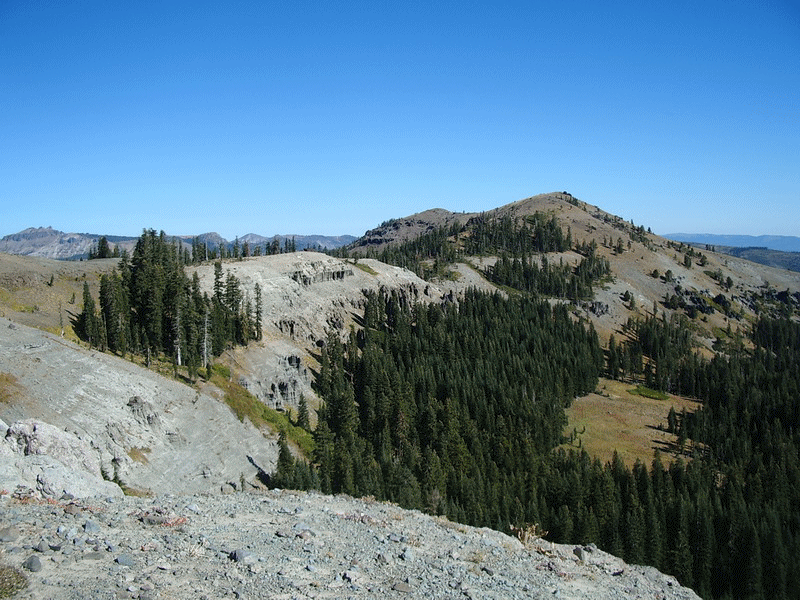
A vista on the way to Tinker Knob
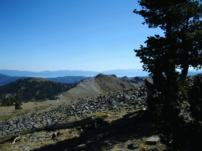
Lake Tahoe as seen from near Tinker Knob
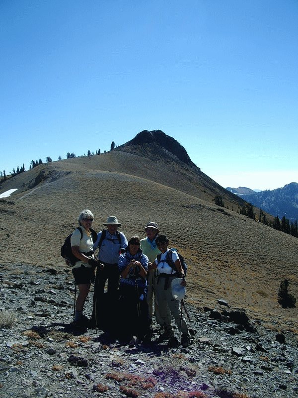
Approaching Tinker Knob